X Marks the Spot: Looking back at the Rediscovery of the Crossing
Traverse des Sioux has always been a great gathering place for people in this area. Human life here dates back 9,000 years. We don’t think about this much today but, the geography of this area makes it an ideal place to live.
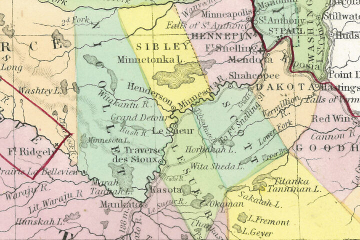
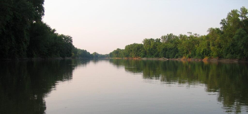
It was easier to travel on the Minnesota River than overland, so the river was like the interstate highway of its day. What made our area different from places like Shakopee and New Ulm, was a shallow rocky place where people could cross the river with their family and belongings. Called oiye “oh-EE-u-weh-GCHEH” by the Dakota and Traverse des Sioux by French explorers, the crossing made this an on/off ramp for that interstate highway.
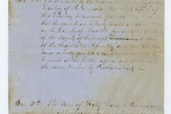
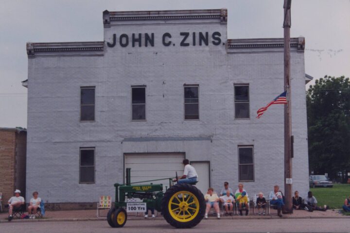
Euro-Americans arrived as explorers, missionaries, and fur traders. All of those jobs required interacting with native communities. Because of that, it was a sensible business decision to locate where native people were already coming together. The village of Traverse des Sioux formed here after the Treaty of Traverse des Sioux was signed in 1851 and thrived for several decades.
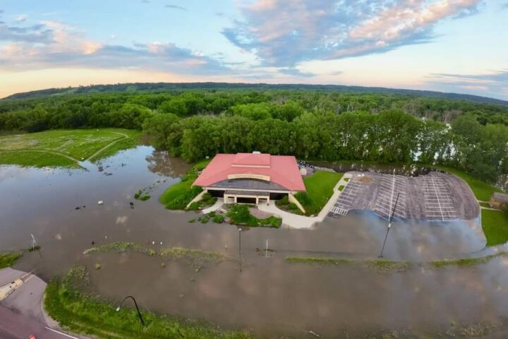
As the river shifted its course over the next 200 years, the location of the crossing was forgotten. But through dogged research of historical texts accompanied by modern surveying technology, the crossing was rediscovered.
The exact location of the crossing was long the subject of rumors. Many people claimed they learned the location from a grandparent or local old-timer, but their stories often conflicted.
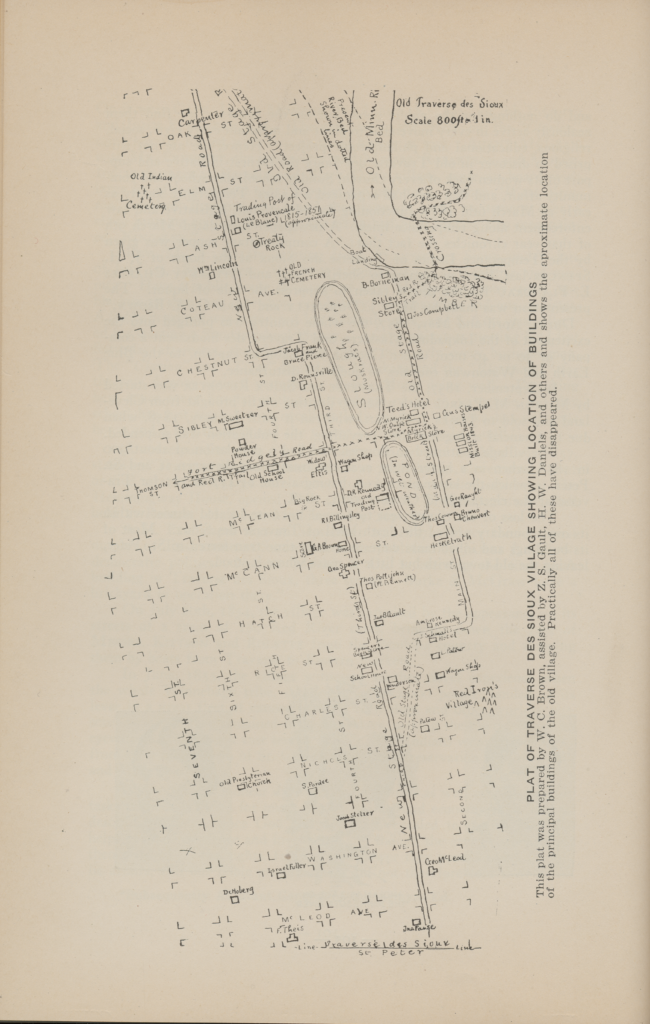
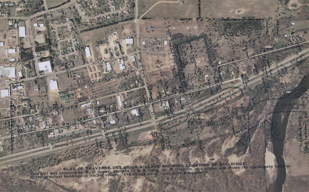
It was NCHS’ very own Bob Sandeen who put the pieces together. Bob discovered the key to finding the location right in front of us all, sitting on many bookshelves, including our own in the library. The crucial information was found in the Thomas Hughes book “Old Traverse des Sioux,” which is an account of the village published in 1929. Not only did Hughes record eyewitness accounts of the crossing, he also included a small map that showed its exact location.
What made this particular publication believable is that Hughes was writing the book at a time when there still would have been physical evidence of the site.
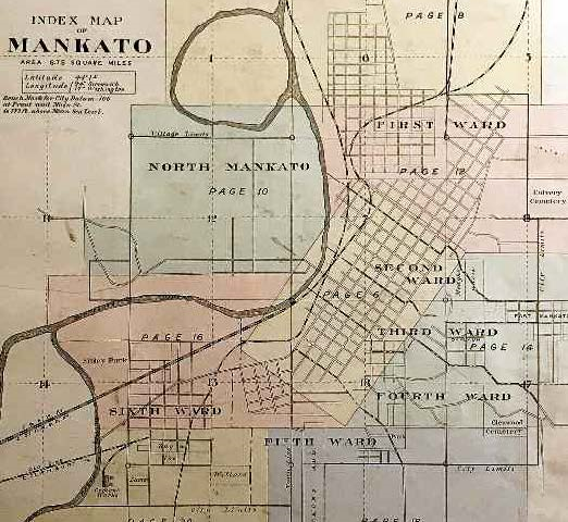
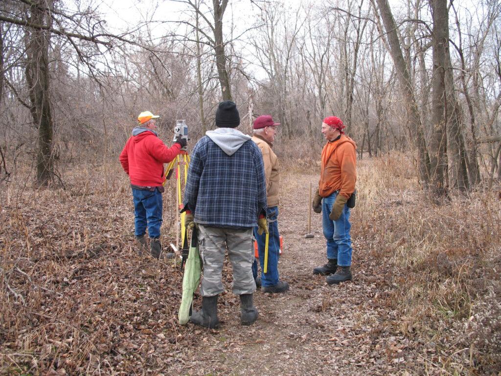
After finding the map, NCHS brought in local surveyor, Dick Gardner. Gardner had experience with Traverse des Sioux because he was contracted by the Minnesota Historical Society to map the remains of the village in 2000.
Gardner scanned the Hughes map and blew it up, overlaying his own map of the village. It was a perfect match.
Anyone who has walked the historic site trail knows the Minnesota River has changed dramatically over the years just by reading the historic site markers along the path. The crossing used by the Dakota and our ancestors has no real relationship to the river anymore.