Open Tue-Sat from 10-4 | 507-934-2160

The Changing Shape of Nicollet County

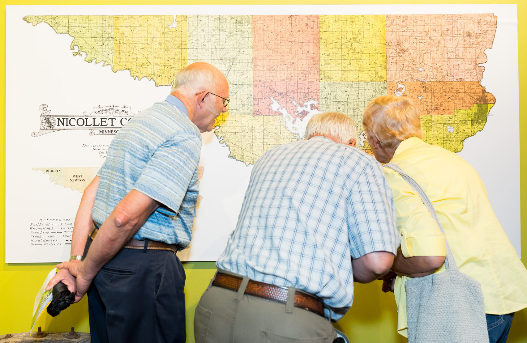
Have you ever wondered how Nicollet County got its shape? It may surprise you to learn that its boundaries weren’t always what they are today. Early maps of Minnesota Territory show Nicollet County with a variety of borders—including one that stretched all the way to the North Fork of the Crow River, northwest of the Twin Cities.

When the Territorial Legislature officially created Nicollet County on March 5, 1853, the original boundaries were:

“Beginning at the mouth of Rush River, thence up the Minnesota River to the mouth of Little Rock River, thence due north to the North Fork of Crow River, thence down said river to the northwest corner of Sibley County, thence along said county to the place of beginning.”

At the time, both Nicollet and Sibley counties extended all the way to the Crow River. It wasn’t until February 20, 1855, that new legislation established the county lines we recognize today.

A vintage map showing counties in parts of Minnesota, South Dakota, and Iowa. The map features regions such as Dakota, Sibley, and Hennepin, with details on rivers, lakes, and towns. Borders and boundaries are marked in colored lines.

Setting Up a New County

Building a county government from scratch was no small task! Just a month after the county was created, Territorial Governor Alexander Ramsey appointed key officials, including:

  • George H. Spencer – Register of Deeds & Clerk of County Court
  • Jonas Pettijohn – Treasurer
  • William Huey – Sheriff

The first County Commissioners, Duncan R. Kennedy, Andrew J. Myrick, and Jonas Pettijohn, held their first meeting on June 27, 1853, and quickly got to work organizing Nicollet County.

Early Government and Taxes

One of their first acts was to establish three assessment districts, appointing assessors to determine the value of taxable property. By July 30, 1853, the commissioners set a property tax rate of 65 cents per $100 of value, with a total taxable property worth $58,660—a small fraction of today’s assessments!

Elections were also a priority. The first polling place was located at Traverse des Sioux, and officials selected Jonas Pettijohn, William Huey, and John LaBathe as judges to oversee the vote.

Law and Order

By October 1853, the county had selected 19 Grand Jurors and 18 petit jurors, and the first U.S. district court session was held in the mission school of Rev. Stephen Riggs at Traverse des Sioux. Judge A.G. Chatfield presided over the proceedings.

The Battle for the County Seat

Where should the county seat be? That question sparked intense debate in Nicollet County’s early years. Initially, Traverse des Sioux served as the county’s administrative center. However, after years of discussion (and more than a little political maneuvering), an October 12, 1858, election determined that the seat would move to St. Peter. To cement the decision, the St. Peter Company donated a building at the intersection of Minnesota Avenue and Broadway to serve as the new courthouse.

A sepia-toned photograph shows a dirt road with two single-story wooden buildings on either side. The building on the left has a sign, and trees and small houses are visible in the background. A pole stands in the foreground.

Organizing the Townships

As settlers arrived and land was surveyed, Nicollet County was divided into Townships. These were originally numbered in a grid system, with each township split into 36 sections (each one square mile). Section 16 was designated for schools, ensuring that students had an educational facility within walking distance.

Over time, townships were given names instead of numbers. By April 27, 1858, the county had organized nine townships—though not all had the names or boundaries we recognize today. The original nine were:

  1. Oshawa
  2. Traverse
  3. Granby
  4. Lafayette
  5. Lake Prairie
  6. Courtland
  7. Nicollet
  8. West Newton
  9. Belgrade

As settlement continued, more townships were added:

  • New Sweden (1864) – Carved from Granby
  • Bernadotte (1869) – Created from part of New Sweden
  • Ridgely (1871) – Formed from West Newton
  • Brighton (1877) – The last addition, formed from Granby

Legacy of Change

Like much of Minnesota’s early history, Nicollet County’s development was shaped by shifting borders, political decisions, and the growing needs of its settlers. From its original, expansive boundaries to the familiar shape we know today, the county’s evolution tells a fascinating story of Minnesota’s territorial past.

Three older adults stand closely examining a large map on a yellow wall. The map appears to be of Nicollet County. They are dressed in casual attire, with two men in plaid shirts and a woman in a yellow shirt. One man holds a black item.

Post a comment