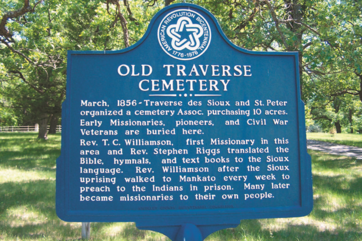
Text excerpt from the Treaty of Traverse des Sioux permanent exhibit at the Nicollet County Historical Society-Treaty Site History Center.
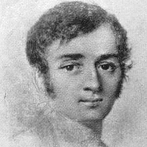
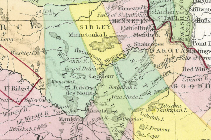
French scientist, geographer, and mathematician Joseph Nicollet led three important expeditions from 1836 through 1839. His Map of the Hydrographical Basin of the Upper Mississippi covered parts of what would become eight states, and was the first to illustrate the height of land on a map–critically important in an area punctuated by large river valleys.
Nicollet camped near Traverse des Sioux for the last time in September of 1838. The party then traveled in two 36-foot dugout canoes made from cottonwoods felled here to Henry Sibley’s house in Mendota. From there Nicollet floated down the Mississippi River to St. Louis.
Though the United States laid claim to the region after the Louisiana Purchase in 1803, the majority of the area remained sovereign Indian territory until the 1850s. Nicollet relied heavily on American Indians for guidance, good will, and an intimate knowledge of their homelands. Ironically, his remarkably accurate map spurred demands for cessation and settlement, and accelerated losses for American Indians.
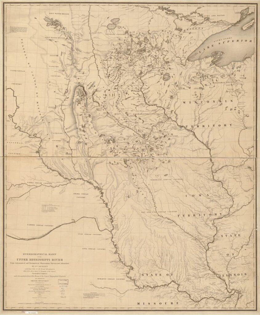
– Relief shown by hachures.
– “Mountains engraved by E. F. Woodward, Phila.”
– “Reduced and compiled under the direction of Col. J. J. Abert in the Bureau of the Corps of Topl. Engrs. by Lieut. W. H. Emory from the map published in 1842 and from other authorities in 1843. W. J. Stone, Sc.”
Learn more about this map.
Credit: Library of Congress, Geography and Map Division.
About the Treaty Site History Center
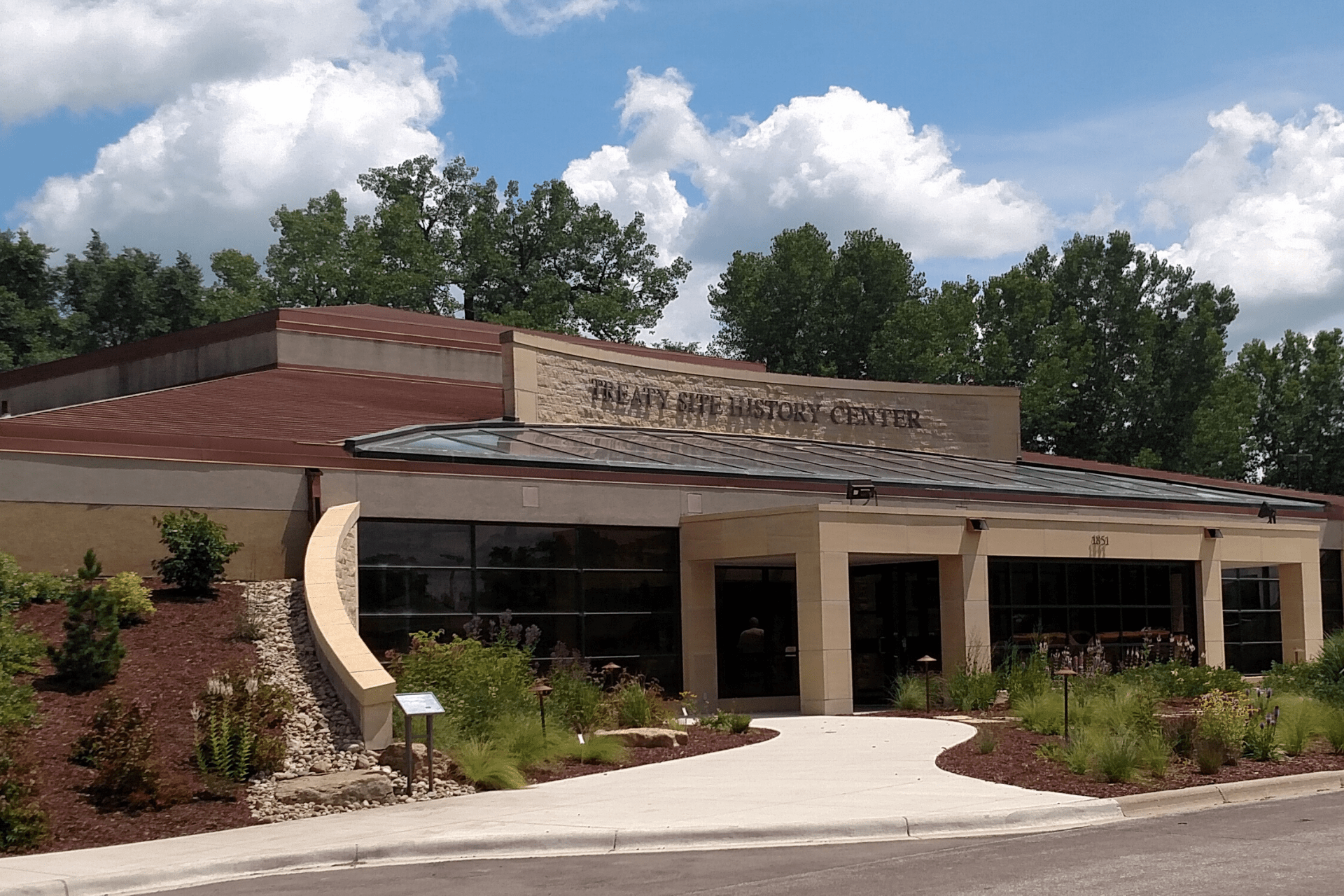
Nicollet County Historical Society – Treaty Site History Center
The Treaty Site History Center is in St. Peter, MN, just off US Highway 169. Address 1851 N. Minnesota Avenue St. Peter, MN 56082 Accessible…