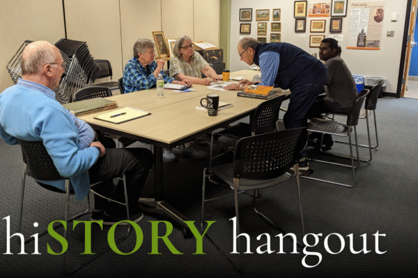
hiSTORY hangout
Whether you're a seasoned history buff or just curious about the past, this free event is for you. New residents, families, and everyone in between are welcome. Ask questions, listen to the discussion, and enjoy learning about local history from your friends and neighbors. Show-and-tell is encouraged, so bring any
hiSTORY hangout
Whether you're a seasoned history buff or just curious about the past, this event is for you. New residents, families, and everyone in between are welcome. Ask questions, listen to the discussion, and enjoy learning about local history from your friends and neighbors. Show-and-tell is encouraged, so bring any photos,
hiSTORY hangout
Ask questions, listen to the discussion, and enjoy learning about local history from your friends and neighbors. Show-and-tell is encouraged, so bring any photos, artifacts, or stories you'd like to share.
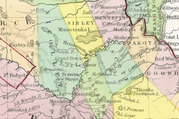
The Changing Shape of Nicollet County
When Nicollet County was first established in 1853, its borders looked very different from today. Early maps placed its northern boundary along the Crow River, and the county seat moved before settling in St. Peter. Over time, township boundaries evolved, shaping the county we know now. Explore the story of